Unique Qualities
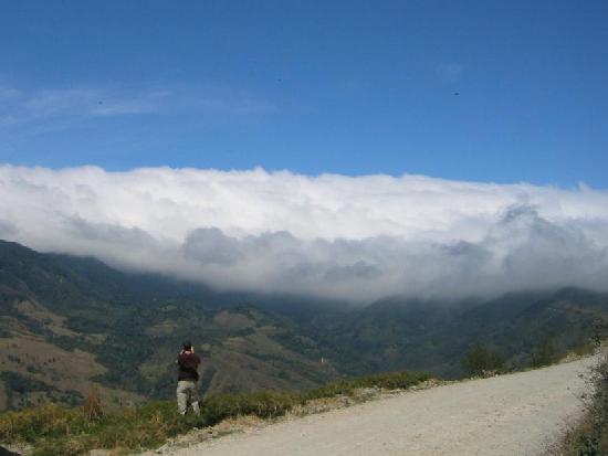
Costa Rica’s geography reveals a history of earthquakes, weather and volcanoes shaping its present-day landscape. We have spent ample time over the past few months researching information regarding Rica’s geography and landscape. Costa Rica is part of the Neotropic Eco zone, and has both tropical and subtropical climates. The country is famous for its microclimates, which are created by the variations in weather and temperature seen through the nation. The nations terrain is costal plain divided by mountains; the Cordillera Central and the Cordillera de Talamanca, which is the center of the countries, landscape and separates the pacific and Caribbean oceans.
10,000 years from now
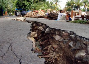
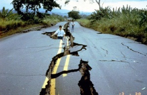
As we have mentioned previously, this nation suffers from a multitude of earthquakes. On average each month, Costa Rica suffers from 100-400 earthquakes a month. From this, we can conclude that in 10,000 years the effects of these earthquakes will be prominent. As a result of the seismic waves that earthquakes release, buildings can be greatly affected depending on the magnitude of the earthquake. For instance, when an earthquake strikes the earth’s crust is easily damaged because of its brittle and thin structure. Buildings are not the only things to fail under the stress of the seismic waves, often unstable regions of hillsides or mountains fail as well. Landslides and liquefaction are likely to occur as a result of the seismic waves.
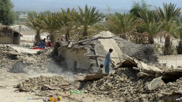
Photo Source: http://www.bbc.co.uk/newsround/24271329
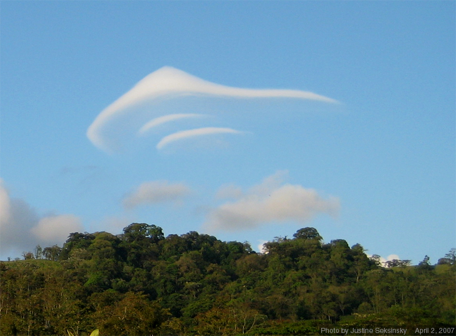
1,000,000 years from now
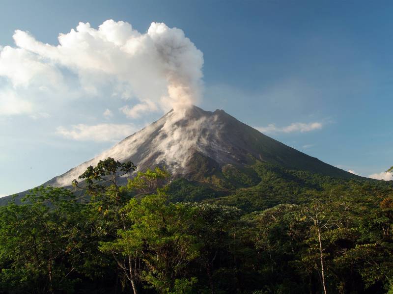
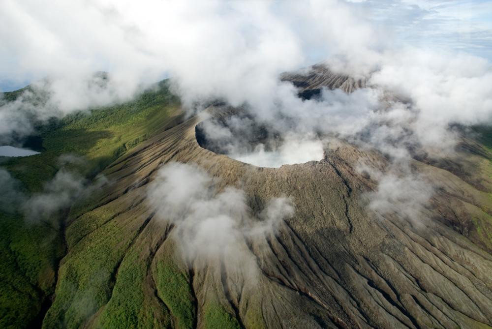
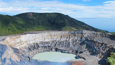
Volcanoes are also a common, yet beautiful, disaster that occurs often in Costa Rica. Volcanoes can change the weather by creating more rain, thunder and lightning. Volcanoes can also have long-term effects on the climate, making Costa Rica cooler. Therefore, in 1,000,000 years the amount of volcanoes that happen yearly may greatly affect the climate and weather of Costa Rica. The lava and ash deposited during an eruption breaks down to provide valuable nutrients to the soil. This creates very fertile soil, which, is good for agriculture. Lava flows can destroy settlements and clear areas of woodland or agriculture. In 1,000,000 years, temperatures in Costa Rica might be cooler because of the sulfur released from volcanoes. Volcanoes can take a toll on livestock as well in 1,000,000 years if they eat, or digest ash from the eruption.
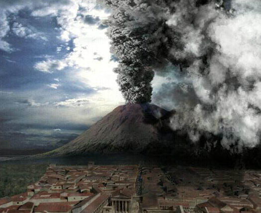
Photo Source: http://www.popsci.com/science/article/2009-11/will-drilling-volcano-trigger-eruption-destroys-naples
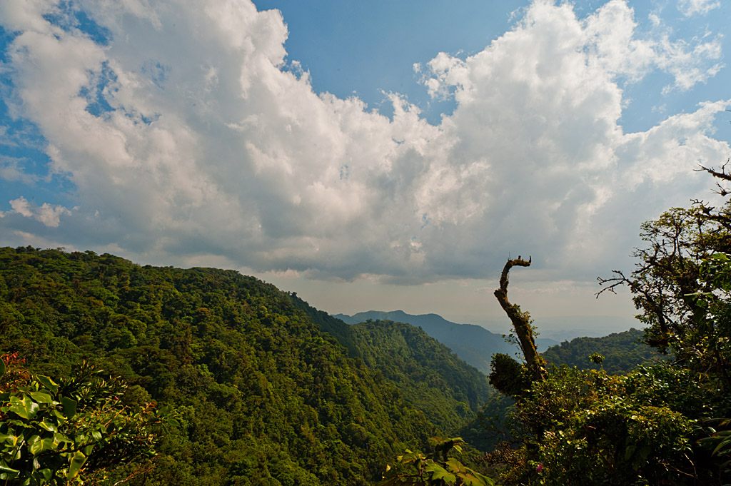
100,000,000 years from now
In 100,000,000 years from now due to the volcanic eruptions and earthquakes it killed off the people in Costa Rica. Due to this, nature has had time to replenish and thrive based on the destruction it faced in the years prior. Nature is able to reclaim that peace of earth. Without the care of people to help maintain the environment nature has moved back into the populous areas.

Photo Source: http://www.pinterest.com/pin/256916353716213402/
Conclusion
Over the course of 100,000,000 years Costa Rica will change drastically. Natural disasters have forced the extinction of the human populous in the area and nature has been able to move in and retake the habitat. Buildings have become overgrown with plant life, buildings have collapsed due to the earthquakes. The volcanic ash has provided rich soil for the growth of the plant life and animals have been able to thrive off of their newly formed natural habitats.
internationalliving.com/countires/costa-rica/climate-in-costa-rica/